 for updates/corrections and new data sets for updates/corrections and new data sets
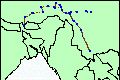
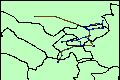
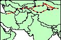
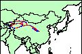
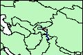 tmcAFm1900.html Karakoram and Pamir,1900 CE, major travel routes
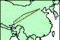
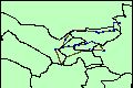
 tmcCNm1000.html NW China, 100-1400 CE, 'Silk Road' trade routes
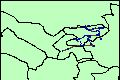
 tmcCNm0620.html Tibet, Sichuan and Yunnan, 620-1940 CE - 'Tea and Horse' routes
 tmcCNm0680a.html Tibet, Sichuan and Yunnan, 680-1950 CE - data set 1, 'Tea and Horse' routes
 tmcCNm0680b.html Tibet, Sichuan and Yunnan, 680-1950 CE - data set 2,'Tea and Horse' routes
 tmcCNm0680c.html Tibet, Sichuan and Yunnan, 680-1950 CE - data set 3,'Tea and Horse' routes
 tmcCNm1500.html China, 1368-1644 CE, Imperial courier (I-chan) routes [UPDATED Jun 2006]
 tmcCNm1700.html China, 1644 -1896 CE, Imperial courier (I-chan) routes
 tmcCNm1850.html Yunnan, China, Laos, Burma, and Vietnam circa 1850 CE, 'Tea' routes
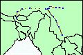
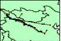 tmcCNm1920.html NW China,1920 CE, major roads and caravan routes
 tmcCNm1950.html Tibet, 1900-1950 CE, trade and transportation routes
 tmcCNm1950a.html Tibet, 1900-1950 CE, trade and transportation routes - data set 2
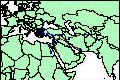 tmcGRa0350.html Hellenistic countries, 350 BCE, trade routes
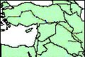
 tmcILa0600.html Middle East, 600 BCE-500 BCE, trade routes
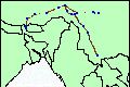
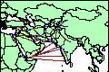
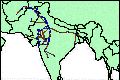 tmcINm1550.html India,1550-1710 CE, major roads
 tmcIRa0500.html Persia, 550 BCE-450 BCE, major roads
 tmcIRa0100.html Persia, 50 BCE-300 CE, trade routes
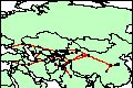
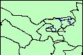 tmcKGa0100a.html Kyrgyzstan, 100 BCE-1400 CE - data set 1, 'Silk Road' routes
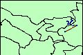 tmcKGa0100b.html Kyrgyzstan, 100 BCE-1400 CE - data set 2, 'Silk Road' routes
 tmcKGa0100c.html Kyrgyzstan, 100 BCE-1400 CE - data set 3, 'Silk Road' routes
 tmcKGa0100d.html Kyrgyzstan, 100 BCE-1400 CE - data set 4, 'Silk Road' routes
 tmcKGa0100e.html Kyrgyzstan, 100 BCE-1400 CE - data set 5, 'Silk Road' routes
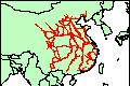
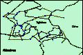
![Cambodia [Khmer], 1200 CE, major roads](images/tmcKHm1200-s.jpg) tmcKHm1200.html Cambodia [Khmer], 1200 CE, major roads
tmcKHm1200.html Cambodia [Khmer], 1200 CE, major roads
 tmcTJm0400a.html Tajikistan, 400-800 CE - data set 1, 'Silk Road' routes
 tmcTJm0400b.html Tajikistan, 400-800 CE - data set 2, 'Silk Road' routes
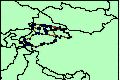
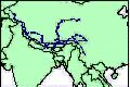
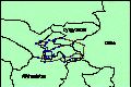
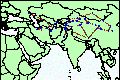
 tmcTMm1100.html Iran and Turkmenistan, 900-1300 CE, caravan routes
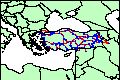 tmcTRm1200a.html Anatolia, 1200-1400 CE, trade routes
 tmcTRm1200b.html The Middle East, the Caucasus, Central Asia and China, 1200-1400 CE, trade routes
 tmcTRm1300.html Turkey, 1300-1600 CE, trade routes
 tmcZCAm0200.html Iran and China, 200 BCE-500 CE, 'Silk Road' routes
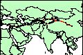 tmcZCAm0600.html The Mediterranean, Iran and China, 200 BCE-1400 CE, 'Silk Road' routes
 tmcZCAm0800.html Central Asia, 700-1000 CE, 'Silk Road' routes
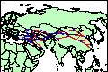
 tmcZCAm1000.html Central Asia, 1-1400 CE, 'Silk Road' routes
 tmcZCAm1000a.html Central Asia, 1-1400 CE, 'Silk Road' routes
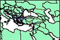
 tmcZMEm1300.html Middle East and India,1300-1600 CE, trade and pilgrimage routes
Copyright (c) 1999 - present by T. Matthew
Ciolek.
 OWTRAD materials and data sets may be distributed only subject to
the terms and conditions set forth in the Creative Commons Attribution-Noncommercial 2.5 License.
Please direct comments, questions or
requests about this license policy to tmciolek@ciolek.com.
OWTRAD materials and data sets may be distributed only subject to
the terms and conditions set forth in the Creative Commons Attribution-Noncommercial 2.5 License.
Please direct comments, questions or
requests about this license policy to tmciolek@ciolek.com.